
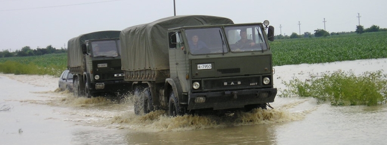
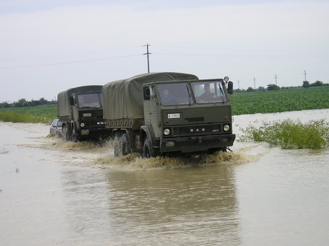
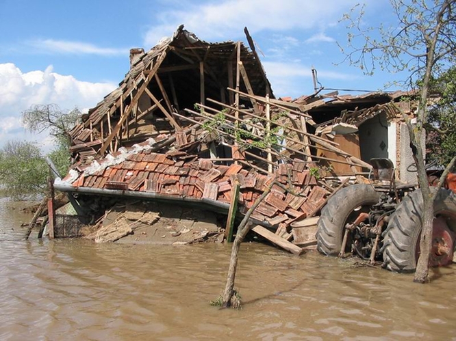
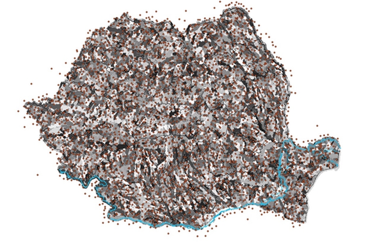
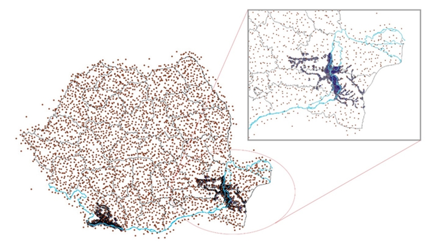
A mathematical model for the flood risk assessment of the State of Romania was developed in this project. The flood risk was quantified thanks to a synthetically-generated catalogue of rainfall events spanning 10,000 years. A statistical methodology was elaborated to account for the spatial and temporal patterns of rainfall and flood, based on historical flow data, in a scenario of data scarcity. A computer programme was designed for this case-study, tailored on the specificity of this project. Around 250,000 rainfall events were generated at 3527 virtual stations on the hydrological network of Romania, and for each of those, a corresponding flooded area was identified, thanks to detailed flood hazard maps, providing both flood extensions and water levels. A detailed exposure model, together with information on the vulnerability and the flood defence structures, allowed computing the flood risk and the loss exceedance probability curves, maintaining the spatial structure of flooding and consistently with the observations.
This project was carried out in six steps:
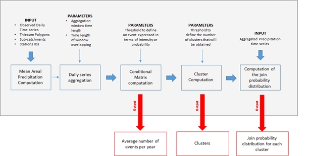
The pre-processing stage consisted in the analysis of the existing rainfall and flow data, the computation of the average areal precipitation for each station, the characterisation of the spatial structure of precipitation, the identification of clusters of rainfall stations with statistical and geographical similarities and the computation of the joint probability of all rainfall station in every cluster. The flood hazard was assessed separately, by means of a flood modelling framework and after a flood frequency analysis of the available data. The LISFLOOD-FP inundation model was employed to obtain hazard maps for 10 return periods (10, 20, 50, 75, 100, 200, 250, 500, 1000 and 1500 years).
The event set was generated by using a Poisson distribution, and maintaining the statistical properties assessed during the pre-processing stage. An average of 25 events per year was produced, with each different magnitude and spatial extent. A validation procedure was put in place to verify the consistency of the stochastic properties of the synthetic events with the observed data.
The exposure model was developed at the first administrative subnational level, on a 1x1 km grid, with information about number of dwellings, areas and replacement values for the different dwelling classes associated to each cell of the grid. The replacement cost was also estimated, taking into account the construction costs. The flood vulnerability functions were developed using RED’s in-house damage model for residential buildings. Finally, flood losses on replacement cost were estimated for each category of building at a 1 km resolution, as well as the loss exceedance probability curves and the estimated annual average losses.
DISTINCTIVE FEATURES
Tailored statistical methodology
Specifically-designed software
Total losses and loss exceedance probability curves obtained for the whole of Romania
DATE
2015
AMOUNT
Confidential
LOCATION
Romania
CLIENT
Confidential
SERVICES PROVIDED
Flood risk assessment